
NavGeo Services presents selected GIS showcases to demonstrate the practical application of its technical capabilities. Each showcase is built around a defined project context and illustrates how spatial data can be prepared, processed, analysed and presented to produce clear geographic outputs.
The showcases focus on the GIS component of each assignment, including the datasets used, analytical approach, mapping and validation processes, and resulting spatial findings. Where appropriate, additional technical documentation provides a more detailed explanation of the methodology and workflow.
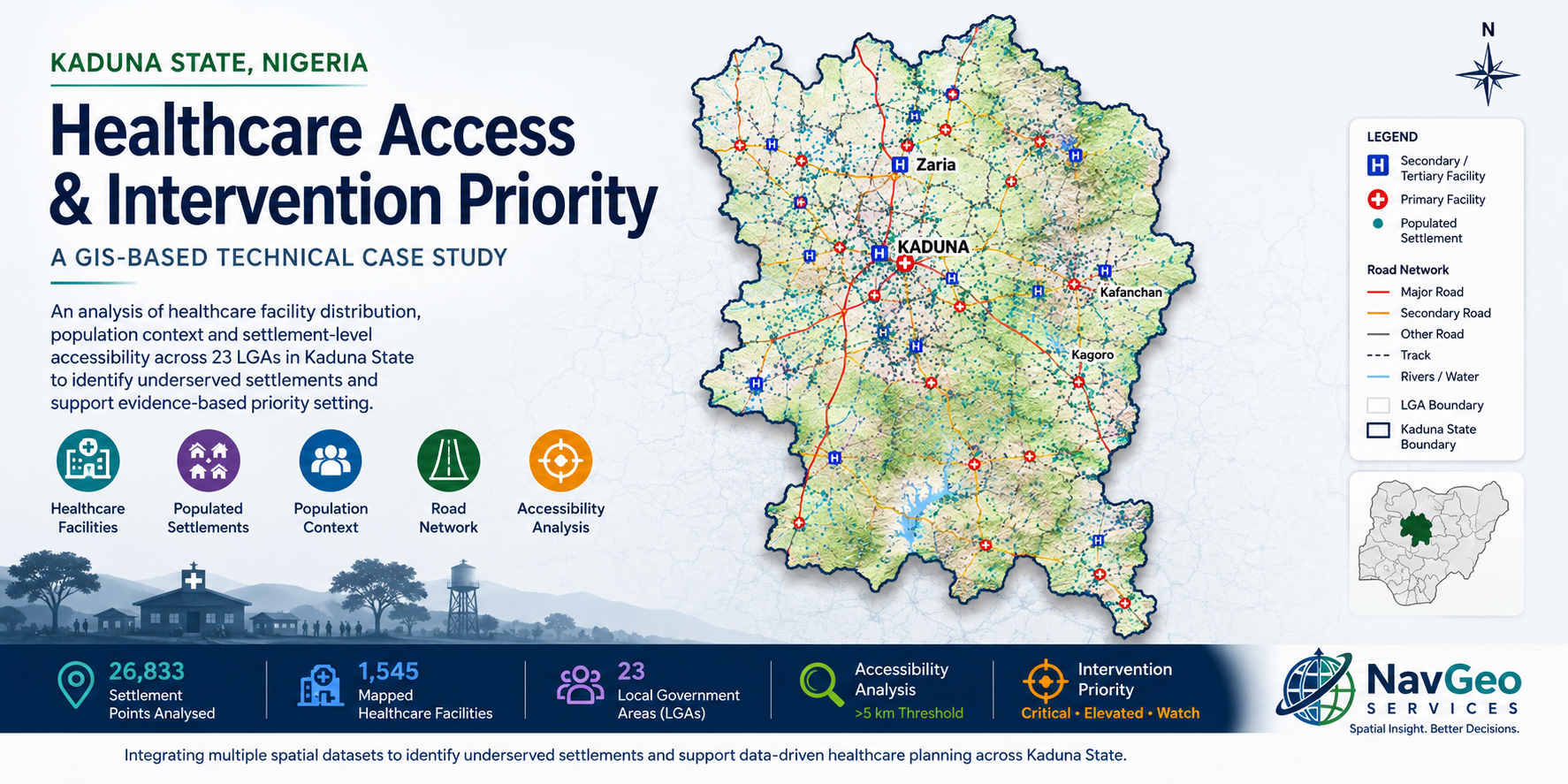
Healthcare Accessibility & Intervention Priority Analysis
A GIS-based healthcare accessibility assessment examining the geographic relationship between settlements and mapped healthcare facilities across Kaduna State. The analysis combines settlement, healthcare facility, administrative and road-network datasets to identify areas with comparatively limited access and establish a structured geographic basis for intervention prioritization.
The assessment covers 26,833 settlements, 1,545 healthcare facilities and all 23 LGAs. Accessibility analysis identified 2,857 underserved settlements, representing approximately 10.65% of the settlements assessed.
More GIS Showcases
Additional NavGeo Services showcases will be added as new GIS applications and technical workflows are developed and documented.
Future showcases will extend across different sectors and GIS requirements, providing practical examples of mapping, spatial-data processing, analysis, data validation, automation and geodatabase workflows.
Have a Similar GIS Challenge?
If the showcased work reflects a GIS requirement relevant to your project, contact NavGeo Services to discuss how our capabilities could be applied within a clearly defined scope.
Contact NavGeo Services