
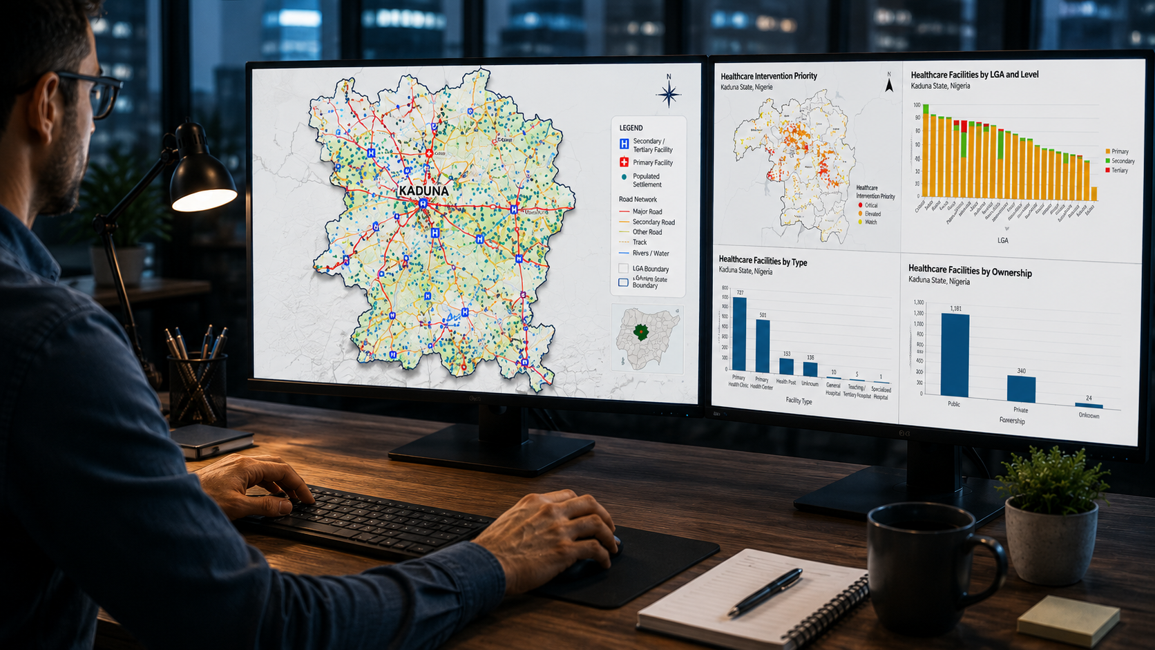
Specialized GIS Capabilities
NavGeo Services provides focused GIS support for organizations and professionals requiring reliable spatial data preparation, processing, analysis and delivery. Our services are structured around clearly defined project requirements, with emphasis on data quality, practical workflows and usable GIS outputs.
Why Choose NavGeo
Focused GIS expertise for clearly defined project requirements.
NavGeo Services combines practical GIS experience with structured workflows and careful quality control. Our work is focused on producing reliable spatial data and GIS outputs that can be used confidently within wider projects and organizational workflows.
Specialized GIS Focus
Services are concentrated on defined GIS mapping, spatial data, processing, validation and workflow requirements.
Quality-Focused Delivery
Structured QA/QC and validation are incorporated into the workflow to improve the consistency and reliability of deliverables.
Flexible Project Support
Support can be provided for individual GIS tasks, defined work packages, or specialist components within larger projects.
Remote Collaboration
GIS services are delivered remotely with clear scope definition, communication and agreed project outputs.
Industries We Support
Specialized GIS support across sectors where reliable spatial data, mapping and geospatial analysis contribute to project delivery and decision-making.
NavGeo Services supports defined GIS requirements within wider projects, working with consultants, organizations, researchers and other professionals who require focused geospatial capability.
Let’s Discuss Your Next GIS Project
Need specialized GIS support for a defined project requirement? NavGeo Services provides focused remote support for mapping, spatial data processing, data conversion, QA/QC, automation, and geodatabase workflows.
Tell us about your project requirements, available data, and expected deliverables, and we’ll assess how NavGeo Services can support your work.
Discuss Your Project